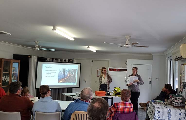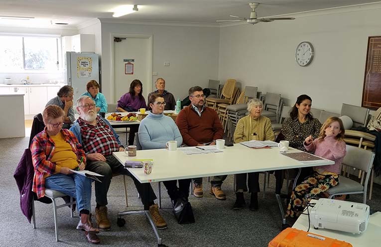
AMIDST the weekend’s rainfall was the perfect opportunity for landowners of Pindimar and Bundabah to brush up on their fire management strategies, with a Midcoast2Tops Landcare Connection Eco Burn workshop held at the community hall on Sunday 2 June.
Landowners hailing from Newcastle, Lake Macquarie and the local area converged to hear from Olivia Eglin and Jess, who began with a recap of the ‘fire triangle’, reviewing fuel and behaviour of bush fires.
 Advertise with News of The Area today.
It’s worth it for your business.
Message us.
Phone us – (02) 4981 8882.
Email us – media@newsofthearea.com.au
This particular Midcoast2Tops Landcare program started in the wake of the 2019-20 fires, as governments of the time recognised a need for better preparation.
Around 70 percent of NSW is privately owned land, and as cultural burns can be expensive and the Rural Fire Service (RFS) lacks the resources to burn everyone’s property regularly, the goal of the program has been to make landowners themselves more aware of what they can do to mitigate the worst.
“Fire is not an evil presence, it is a required land management tool in our landscape,” Olivia explained.
“Australia’s fire history begins with First Nations peoples using fire for several thousand years, and in doing so the trees and flora adapted to the point they now need regular fire to stay manageable.
“Colonial land management tried to impose European practices, including suppression of all fires, but it ended up just accumulating more fuel for bigger fires later on.
“Despite recent rains and floods, we still encourage people to consider how the new growth will become more fuel one day.
“The Canberra fires of 2003 saw bigger than usual fires because the vegetation that had built up over many years finally dried out.”
Temperature, humidity and wind speed and direction are critical factors, as is the ‘availability’ of fuel – its readiness to burn under any particular set of conditions.
There are many types of vegetation growing in any given area of bushland, or acreage property, and each has its own relationship with fire, such as the vegetation found on the north-west side of hills being more adapted to the dry, and that on the south-east side being wetter.
“People can use maps, or the TreesNearMe app to discover what kinds of vegetation they are living with,” Jess explained.
However, this and many similar government-grant-funded programs are about to expire, and such proactive information sessions will become few and far between as we eventually move into dryer weather, when the information is needed most.
By Thomas O’KEEFE