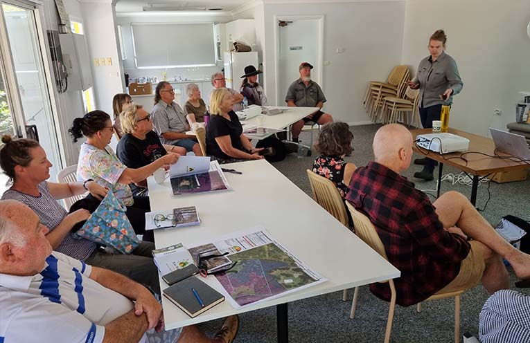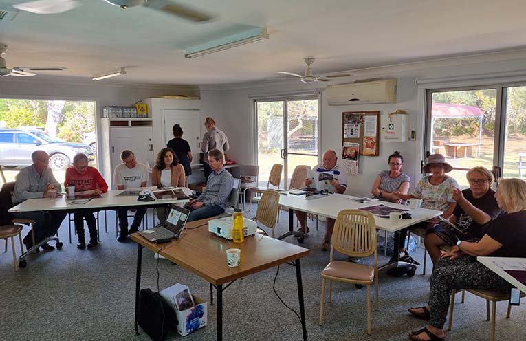
SERIOUS bushfire education ensued for landowners from Pindimar and surrounds at the Eco Burn Workshop at the Pindimar Bundabah Community Association Hall on Saturday, 30 September.
Led by Olivia Eglin, Fire Ecology Education Officer from Mid Coast 2 Tops Landcare Connection, this initiative was hosted by the PBCA in prelude to a potentially catastrophic fire season this summer.
With clear evidence of the recent Minderoo Muster all around, landowners from Pindimar, Bundabah, Tanilba Bay, Stroud, The Branch, and Barrington River (near Gloucester) joined the initiative to learn how they can manage their land.
Most present proclaimed their love for the bush and the area itself, many being escapees from Sydney’s concrete jungle, or still anchored there but wanting to move on.
Ms Eglin highlighted that “people need to know the ‘fire history’ of their property, especially as many are new to the bushland environment”.
“Fire has been shaping the landscape of the Mid Coast region for millions of years, and the environment needs it, but 70 percent of NSW is privately owned, and it is up to landowners regarding land management.”
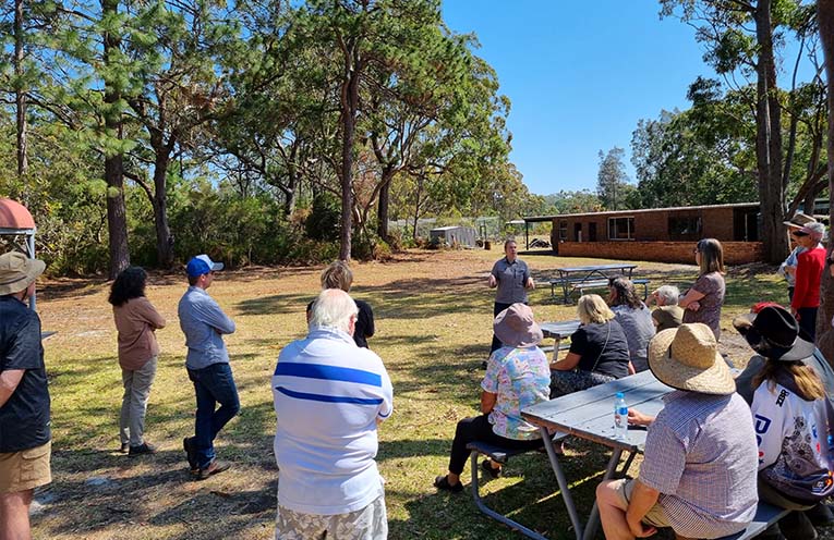
The overwhelming presence of sclerophyll and other fire-desirous vegetation was emphasised via graphical representations, with a practical assessment of the area behind the Hall that utilised the RFS Pocketbook app and its fire risk calculator.
By inputting factors such as wind, temperature, humidity, and ‘drought factor’ (time since last significant rainfall), attendees could easily imagine the predominantly eucalyptus and pine forest as both a planned hazard reduction burn, or an unplanned towering inferno under ‘catastrophic’ conditions.
Other clarified realities included ‘fire spotting’, when out-of-control bush and grass fires send embers up in the hot winds to start new spot-fires up to 20 metres away.
“In the 2019-20 fires, spotting was up to 12 km ahead of main blazes,” Ms Eglin said.
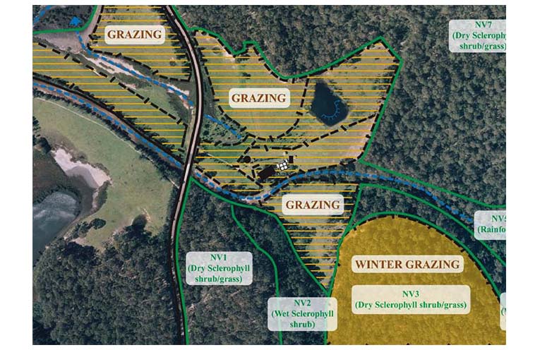
Attendees were also given large maps of their properties, upon which fire mitigation and hazard reduction options were explained, which they could return home with and use to minimise risks ahead.
By Thomas O’KEEFE