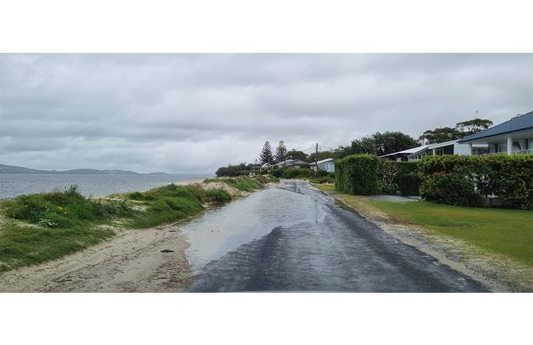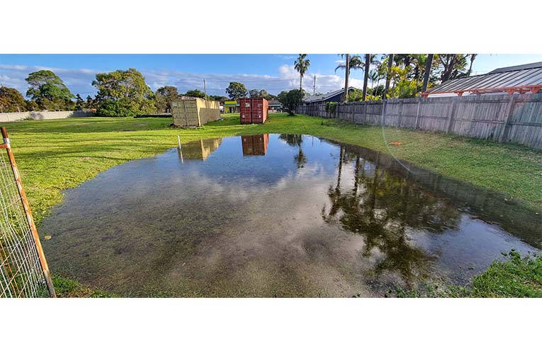
FLOODING has been prevalent all around the Myall Coast with the recent heavy and relentless rains, and floodwater experts at Stroud State Emergency Service (SES) hope to help residents understand the differences between flash flooding and its riverine counterpart.
“Flash flooding occurs with very high rainfall over a short period of time,” explained SES Deputy Commander Greg Snape.
 Advertise with News of The Area today.
It’s worth it for your business.
Message us.
Phone us – (02) 4981 8882.
Email us – media@newsofthearea.com.au
“It is usually very localised and not widespread.
“Depending on the state of the area where it’s falling – thickly forested, grassland, or already saturated – runoff travels overland, downhill, following contours into gullies, as it seeks a path to rivers and the sea.
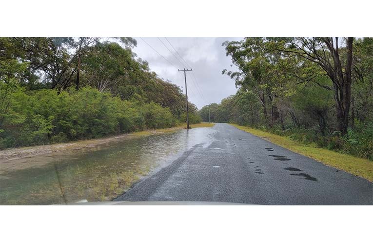
“Flash flooding comes with very little warning, can happen in a matter of hours (not days or weeks) and is usually the product of thunderstorms and supercells.
“While not necessarily deep, flash flooding can be very fast-flowing, collecting lots of debris, impacting roads, and quickly becoming extreme hazards to persons unprepared for it.
“Waters 200mm deep and moving with force will take a 4WD off the road, and modern vehicles’ electronics are badly affected,” Greg added.
Flash flood-prone areas include Pindimar Rd, Myall Way, Booral Rd, M1 north of Viney Creek, Viney Creek Road East, The Branch Lane, and The Bucketts Way in some areas, such as near Wards River.
The best flash flood advice the SES can give is to simply delay your trip and to listen to advice given on the road.
In just a matter of hours, flash flooding can clear out, especially after rainfall ceases.
“Riverine flooding occurs when natural watercourses begin to back up, not handling the sheer volume of water coming down in prolonged rainfall,” Greg continued.
“Much like a bathtub filling up, water can actually go uphill and move back upstream as it hits choke points.
“The 2015 East Coast Low event saw rivers breach their banks at Mill Creek and Saggers Creek near Stroud, and in 2021/22 Bulahdelah was affected by riverine flooding in the Upper Myall River, which actually flowed on to raise the level of the Myall Lakes, hence affecting Nerong, Bombah Point and the National Park.”
Further down, where rivers become estuaries around Tea Gardens/Hawks Nest and Pindimar/Bundabah, riverine flooding is less of an issue, but flash flooding is the biggest concern.
Residents are best advised to simply become familiar with the low-lying areas that are prone to flash flooding, such as main roadways or access routes, and understand that BOM warnings are never specific enough to say that one particular area is going to be affected.
By Thomas O’KEEFE